
Batona Trail: Ong's Hat to Lebanon Fire Tower
November 02, 2024
by  @odawgie
Brendan T. Byrne State Forest
Moderate
Distance 16.89 km
Est. duration 04h 40m
Elevation Gain 192 m
Elevation Loss 193 m
Category Hiking
Description
Route
Start
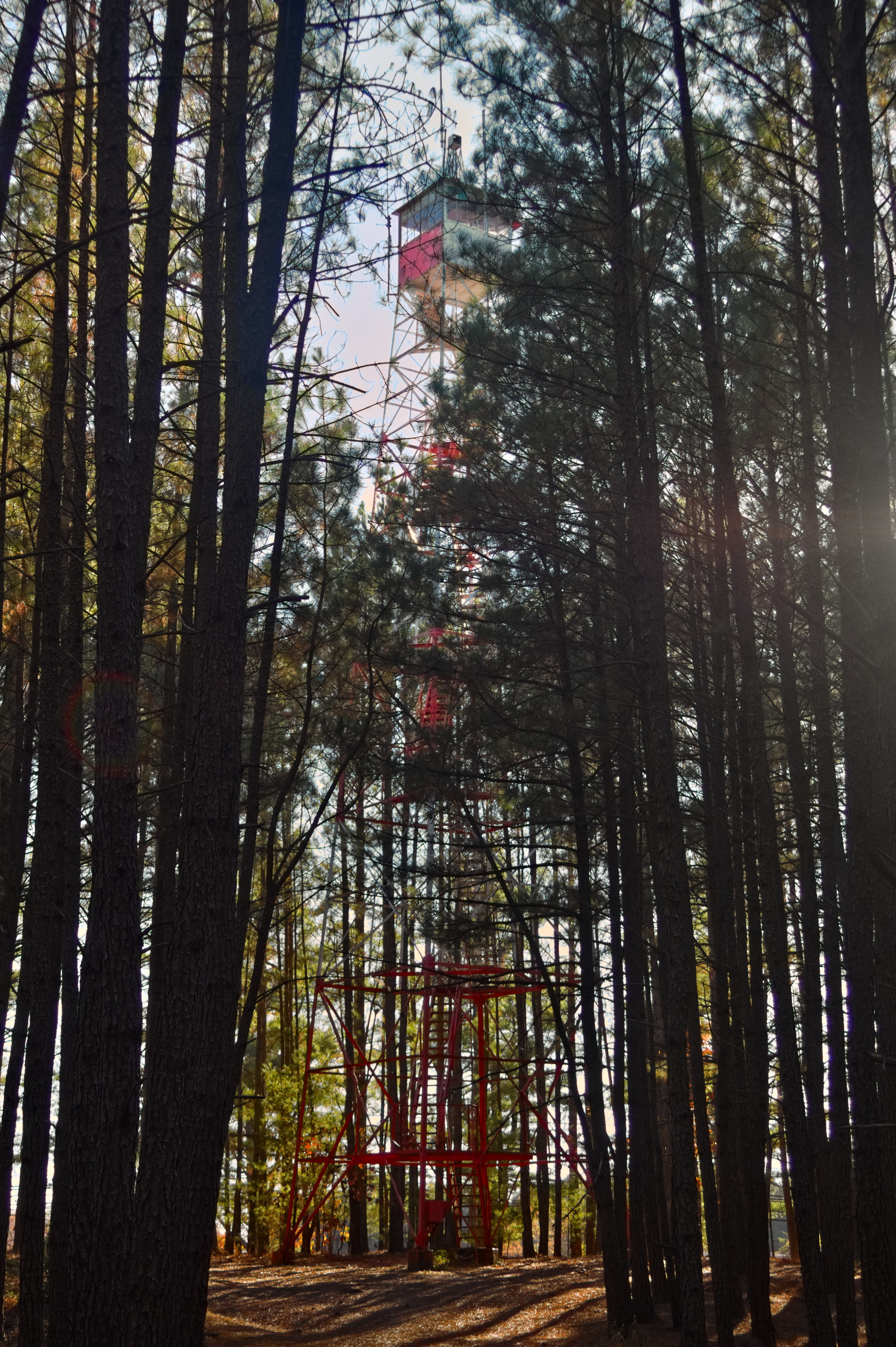

Lebanon Fire Tower
39.89220, -74.58133
Four Mile Road
39.89108, -74.57250
CR 646
39.91921, -74.59967also called four mile road?
16.89 km
Finish